Composite Image / Animation
Assembled by William Huston
Share w/(CC-BY-NC-ND)
+Attribution, Non-commercial, No-Derivative Works
Feedback: WilliamAHuston@gmail.com
Used image processing to combine maps (very imprecise!)
Red Areas seem to be of highest concern.
Here is the animation, followed by the individual images:

Data sources:
- Fracking: "US Shale Plays" map, Energy Information Administration
- Drought: "US Drought Monitor" map, NOAA / USAD
- Earthquakes: "Shaking Hazard" map, USGS
Individual images:
 |
| 1: Fracking |
 |
| 2: Drought |
 |
| 3: Earthquakes |
 |
| 4: Fracking + Dought |
 |
| 5: Fracking + Earthquakes |
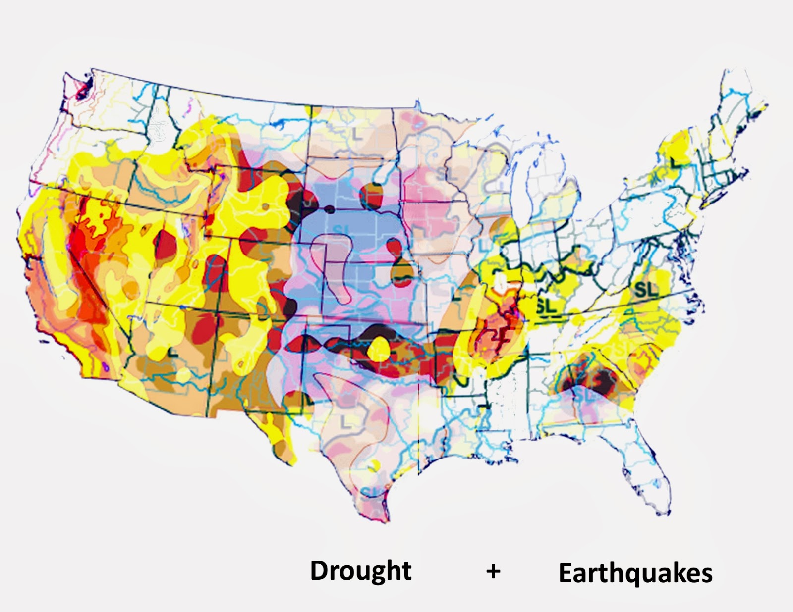 |
| 6: Dought + Earthquakes |
 |
| 7: Fracking + Dought + Earthquakes |
 |
| 8: Sources/Credits |
it should be obvious to all that you mess with Nature and water levels on this magnitude, we will suffer dire consequences in the years ahead...
ReplyDelete